Stockpile Measurement Software
Accurate Stockpile Volume and Tonnage Measurement
Calculate stockpile volumes from survey or drone data with automatic surface generation. Track inventory changes between survey dates and reconcile with production records.
K-MINE stockpile measurement calculates accurate volumes and tonnages from ground survey or drone capture data with automatic surface generation and base plane detection for each stockpile. Track inventory changes between measurement dates, reconcile surveyed volumes against truck count records, and generate stockpile balance reports. Support multiple density assignments for different material types within a single measurement campaign.
Field Instrument Import
Bring in measurements directly from Sokkia, Leica, Topcon, and Trimble total stations and GNSS receivers, with custom import templates for any additional format.
Survey Network Calculation
Process tacheometry, resection, theodolite traverses, and leveling with automatic discrepancy detection and accuracy assessment to ensure reliable control networks.
Surface Building & Comparison
Create triangulated surfaces from survey points, overlay against design topography, and generate contours, slope maps, and elevation profiles with 3D quality checks.
Volume Calculation & Reconciliation
Calculate cut and fill volumes between surfaces with bench-by-bench and zone-based breakdowns, then produce period reports for extracted, remaining, and moved material.
Mining Progress Tracking
Update as-built surfaces as mining advances, compare measured volumes against planned targets, and identify deviations early for shift and monthly reconciliation.
Report Generation & Data Export
Generate surveying journals and technical reports from templates, export in DXF, CSV, XML, and LandXML formats, and create PDF packages for audits and regulatory submissions.
K-MINE Software
Geological modeling to production scheduling — one database, connected workflow
One database, full workflow — from drillhole to production schedule. Stope optimization, decline design, and ventilation in one environment.
Surveying
Process field data, build surfaces, and reconcile volumes for open pit operations.
Geology
Turn drillhole data into 3D domains and grade estimates.
Open Pit Design
Pit shells, benches, ramps, and haul roads in one design environment
Scheduling
Build short-, mid-, and long-term schedules with equipment assignment.
Pit Optimizer
Select ultimate pit limits and phase shells using economic inputs.
Stability Analysis
Assess pit slope stability with limit equilibrium and FEM workflows.
Drill and Blast
Design patterns, calculate charges, and validate blasts before execution.
Infrastructure
Maintain a 3D master plan for haul roads, waste dumps, stockpiles, and site facilities.
Long-term Partners











Learning Resources
View AllExplore our latest Videos, Webinars, Trainings, and Articles to strengthen your mining
workflows - whether you are a practicing engineer, an academic, or a student.
Oct 19, 2026
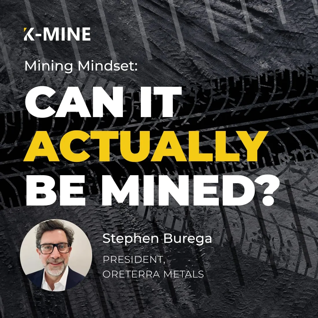
PodcastA Great Deposit Isn’t Enough: What Makes a Mine Investable?

Oct 15, 2026
Training SessionsTraining: Genetic Algorithms for Mine Planning

Oct 9, 2026
PodcastWhy Some Mining Projects Get Funded and Others Don’t
Oct 7, 2026
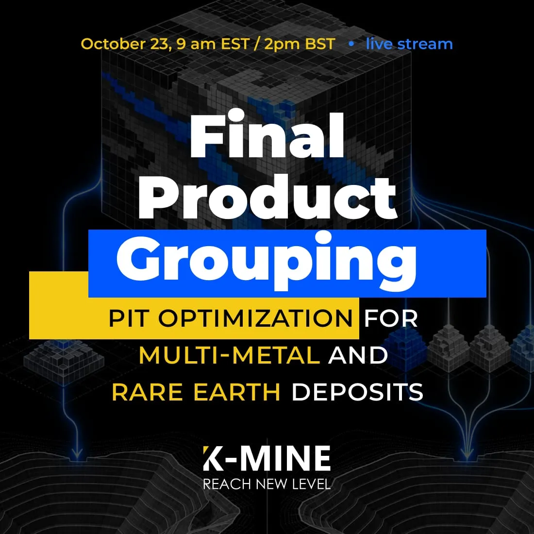
Webinars