K-MINE Module
Surveying
- for mining engineers, mine design experts, and surveying professionals.
- it’s also suitable for professionals responsible for updating digital models, creating drawings, and generating reports.
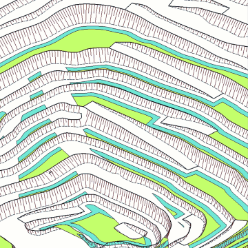
Mining Geometry Calculations and Solutions
By utilizing the mining geometry functions within the Surveying module, you can accurately calculate both developed and blocked-out reserves, as well as the quantity of blasted rock mass remaining in the open pit.
This functionality is essential for achieving professional excellence in mining operations.
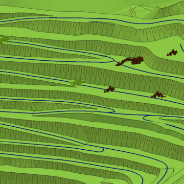
Integration with Dispatch Systems
Our solution ensures dispatch control of your personnel and assets.
With access to the dispatcher database,
K-MINE can track personnel and asset location, travel history, routes, working hours, downtime, and other key performance indicators.
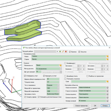
Volume Calculation
Working with volumes is central to the surveyor’s role.
With thise module’s functionality, you can calculate stoping, block, face, dump, storage, and other volumes using various methods and techniques.
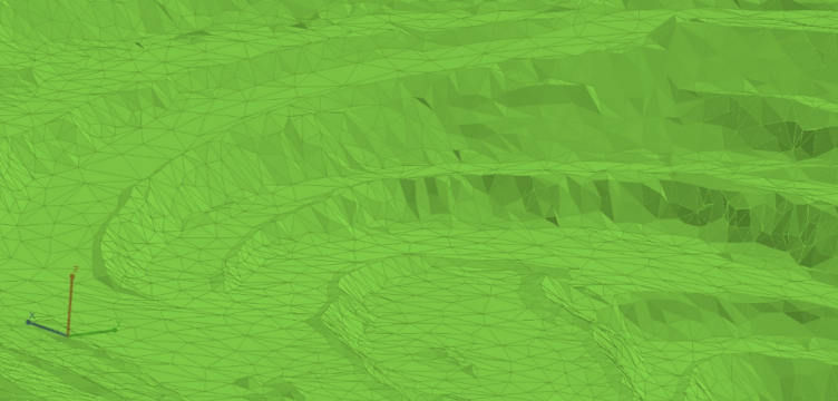
Laser Scanner and Airborne Survey Data Processing
In this module, you can manipulate point clouds to model or update the status of mining operations.
Data is compatible with .las, .csv, .txt, and .xyz formats.
Subsequently, you can adjust the number and size of points and the granularity.
Reporting
Generate a wide range of reports, including those with tables, images, graphs, and more, all of which are insertable into the report editor.
Additionally, you have the ability to create and save custom report templates for increased efficiency. Reports can also be exported in various formats.
Surface Texturization
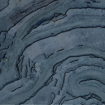
Surface texturization enhances comprehension of real-world objects, refines mining maps, and provides supplementary data often absent in standard wireframes.
Frequently Asked Questions
What kind of licenses does K-MINE provide and how much do they cost?
K-MINE offers two types of licenses: monthly or annual subscriptions and perpetual licenses. Please contact the K-MINE team to learn about the pricing for each module.
How can information be transferred from one module to another?
K-MINE is a standalone application with a single database, so no data transfer is necessary. Different teams can access data according to their user rights.
Is K-MINE cloud-based software?
No, K-MINE is a desktop application. However, upon request, our team can install it on a Windows server and set up a cloud infrastructure.

